Southern California First Peoples
Long before the first Spaniards arrived in Southern California, the area was occupied by six distinct Native American tribes: Chumash, Tongva, Serrano, Cahuilla, Luiseño, and Kumeyaay.
 The map shown above shows the territories of the six Southern California Indian nations.
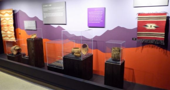
  The Riverside Metropolitan Museum in Riverside, California has a display on Southern California’s First Peoples.
Chumash
In her chapter in The Oxford Handbook of North American Archaeology, Jennifer Perry writes:
“The Chumash people occupied an extensive strip of southern California from Malibu to Paso Robles with the northern California Bight and neighboring interiors.”
The Chumash also occupied the Santa Barbara Channel Islands: San Miguel, Santa Rosa, Santa Cruz, and Anacapa.
With regard to language, Chumash belongs to the Hokan language family. There were several Chumash languages: Ventureño, Barbareño, Ynezeño, Purisimeño, Obispeño, and IslandChumash. The last Chumash native-speaker, Mary Yee, died in 1965.
A series of Franciscan missions were established in Chumash territory by the Spanish: San Luis Obispo (1772), Santa Barbara (1786), La Purísima Concepción (1787), and Santa Ynez (1804). In his introduction to the Chumash in the Handbook of North American Indians, Campbell Grant reports:
“By the early 1800s, the entire Chumash population with the exception of those who had fled into the mountains and the inland valleys, had come into the mission system. The Spanish missionaries were determined to make industrious farmers and artisans of the Chumash and taught them trades that made the building and maintenance of the great missions possible.”
 Shown above a small steatite Chumash effigy of a whale.
  Shown above is a Chumash coiled tray which was used for winnowing and parching seeds. This basket is on display in the Maryhill Museum of Art in Goldendale, Washington.
Tongva
The Tongva (also called Gabreleño and Gabrielino) occupied the area as well as the four southern Channel Islands. There were about 50 permanent villages in the area (some sources indicate that there may have been as many as 100 villages), each with 100 to 300 inhabitants. In their chapter on the Gabrielino in the Handbook of North American Indians, Lowell John Bean and Charles Smith report:
“With the possible exception of the Chumash, the Gabrielino were the wealthiest, most populous, and most powerful ethnic nationality in aboriginal southern California, their influence spreading as far east as the Colorado River, and south into Baja California.”
 Shown above is an ancient steatite carving of a canoe from San Nicholas Island. This is on display in the Los Angeles County Museum of Natural History.
Serrano
Serrano is Spanish meaning “mountaineer” or “highlander.” It was used to identify Indians living in the highlands, mountains, and passes. They lived in the San Bernardino Mountains and during the era of Spanish missionization, they were under the influence of the San Gabriel, San Fernando, and San Buenaventura missions. Their language was Takic, a Shoshonean language belonging to the Uto-Aztecan language family.
 Shown above is a Serrano gift basket made about 1900.
  Shown above is a Serrano basket with a fence design. This basket is on display in the San Bernardino County Museum in Redlands, California.
Cahuilla
The Cahuilla homeland in California was bounded on the north by the San Bernardino Mountains; on the south by the northern Borrego Desert; on the east by the Colorado Desert; on the west by the present-day city of Riverside. The designation Cahuilla is said to mean “masters” or “powerful ones.” As a tribal designation, Cahuilla is more of a linguistic designation than a governmental or political one: the many different Cahuilla villages tended to be autonomous and there was no single overall governmental structure which united them.
 Shown above is a Cahuilla basket tray made about 1910. The decorations represent lightning.
 Shown above is a Cahuilla basket tray made about 1910. The basket is decorated with a whirlwind pattern.
 Shown above is a Cahuilla basket tray from the Soboba Reservation. This basket, which features a rattlesnake decoration, was made in the early twentieth century.
  Shown above is a Cahuilla basket bowl made about 1910. This basket features a lizard design.
Luiseño
The Luiseño were named by the Spanish after the Mission San Luis Rey de Francia which was established in their territory in 1798. In her entry on the Luiseño in the Encyclopedia of North American Indians, Louise Jeffrado-Warden writes:
“Ecologically diverse, the territory of the Luiseños lay mostly in northern San Diego and southern Riverside counties, where more than one thousand years ago Luiseño bands founded villages with strictly delineated land and resource holdings. Only with precise permission could one group enter into another group’s domain to exploit specific properties such as gardens or groves.”
With regard to language, the Luiseños spoke a Shoshonean language belonging to the larger Uto-Aztecan family.
 Shown above is a Luiseño basket bowl made about 1900. The basket is decorated with a whirlwind pattern.
  Shown above is a Luiseño basket bowl made by a weaver on the La Jolla Reservation about 1890.
Kumeyaay
The Yuman-speaking peoples who occupied what is now the southern portion of California and the northern portion of the Mexican state of Baja California when the Europeans first made contact with the area in the sixteenth century have been known by a number of names: Tipai, Ipai, Kamia, Kumeyaay, and others. They were also called Diegueño, an eighteenth-century Spanish collective term for the people living near the mission of San Diego de Alcalá. Their traditional territory was approximately marked at the north by the mouth of the San Luis Rey River and in the south by the Todos Santos Bay.
In her chapter on the Tipai-Ipai in the Handbook of North American Indians, Katherine Luoala writes:
“Of all mission tribes in the Californias, Tipais and Ipais most stubbornly and violently resisted Franciscan or Dominican control.”
 Shown above is a pair of Kumeyaay yucca sandals made prior to 1911 and a Kumeyaay cordage skirt made prior to 1911.
  Shown above is a pre-1910 Kumeyaay awl which would have been used in basketry and in making holes in leather and other materials.
Related Posts
-
 Altered Lands in California (Photo Diary)
One of the displays in the San Bernardino County Museum …
Altered Lands in California (Photo Diary)
One of the displays in the San Bernardino County Museum … -
 The Soboba Indian Reservation
The traditional homeland of the Luiseño was in the area …
The Soboba Indian Reservation
The traditional homeland of the Luiseño was in the area … -
 California’s Maidu Indians
The Maidu inhabited a series of mountain valleys in northeastern …
California’s Maidu Indians
The Maidu inhabited a series of mountain valleys in northeastern … -
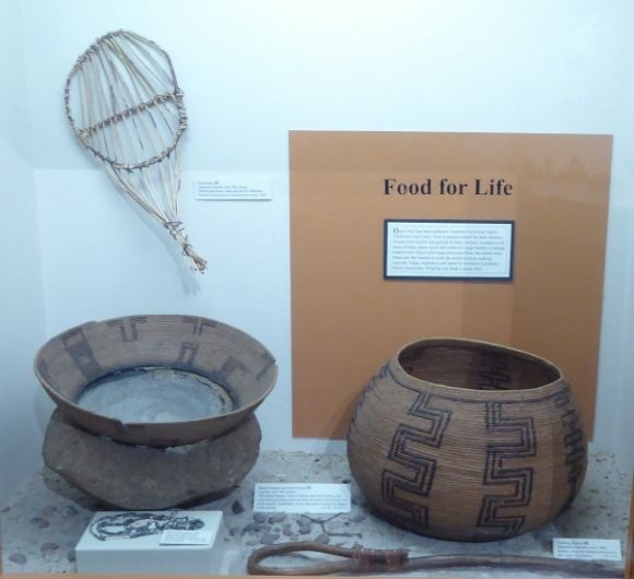 Food for Life in California (Photo Diary)
One of the mainstays of the diet for the California …
Food for Life in California (Photo Diary)
One of the mainstays of the diet for the California …