For thousands of years, the Indian peoples of western Montana were connected to the rest of the world through an intricate network of trade routes. The natural hub of these routes is Travelers’ Rest which is today operated as a state park.
Travelers’ Rest is located at the east end of the Lolo Trail. This trail crosses the Bitterroot Mountains and connected the Salish-speaking people of western Montana to the Nez Perce and other Indian nations in Idaho, Washington, and Oregon.
To the east, the trails led into the buffalo country of the Great Plains, a resource area whose importance increased after the acquisition of the horse in the eighteenth century.
To the north, the trails led into the rich hunting and gathering areas of the Mission and Flathead Valleys and beyond. These areas were rich in camas as well as deer, elk, and caribou. The north trails also connected them with other Salish-speaking groups (Pend d’Oreille, Kalispel, Spokan, Couer d’Alene) and the Kootenai.
While the site of today’s Travelers’ Rest State Park was an important and frequently used Indian camp site, the designation “Travelers’ Rest” comes from the American explorers Meriwether Lewis and William Clark. In September 1805, the party of American explorers known officially as the Corps of Discovery arrived in the Bitterroot Valley. They had crossed into the valley via the Lost Trail Pass which had been blanketed by the season’s first snow. They were lost and hungry. As was their custom, the Bitterroot Salish (also known as the Flathead) provided the strangers with food and friendship. Indian agent Peter Ronan would later report:
“During the stay of the explorers in the Flathead camp Captain Clarke took unto himself a Flathead woman. One son was the result of this union, and he was baptized after the missionaries came to Bitter Root valley and named Peter Clarke.”
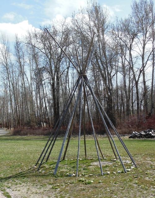
Meriwether Lewis named the creek on which they camped “Travellers’ Rest.” On their return trip the following year, they camped here again. Today it is the only archaeologically verified Lewis and Clark campsite.
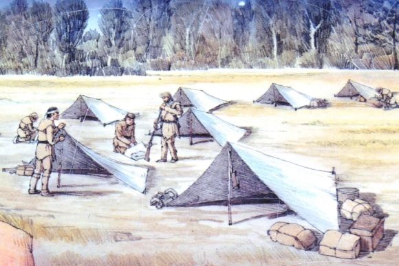
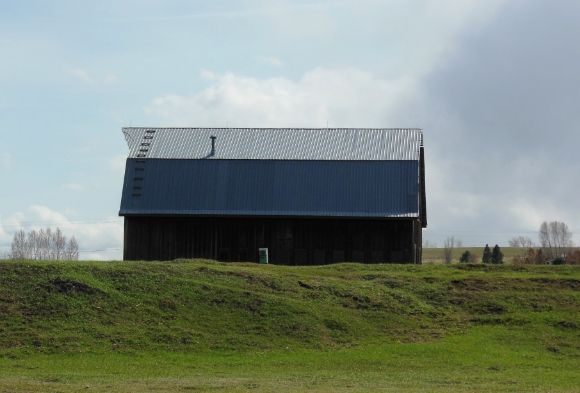
Shown above is the Lewis and Clark campsite with tent frames showing the locations of their tents. As a military expedition, they laid out their camps according to the military manual.
In 1960, Travelers’ Rest was established as a National Historic Landmark in recognition of the site as a critical decision point for the leaders of the Corps of Discovery (also known as the Lewis and Clark Expedition).
Archaeology:
For many years it was thought that the Travelers’ Rest campsite was located at the confluence of Lolo Creek and Bitterroot River, about 1.5 miles east of the current park. In 1996, investigators came to suspect that this location was incorrect. Historical archaeologist Dan Hall used remote sensing equipment to identify places where the magnetic properties of the soil had been altered. In 2002, archaeologists excavated these anomalies and found evidence of the expedition’s latrine and campfire.
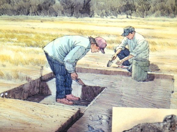
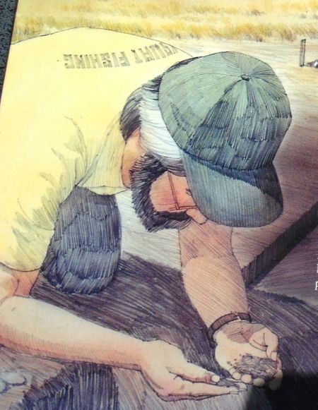
Among the medications which the Corps of Discovery carried with them was Dr. Rush’s Thunderbolts, a powerful purgative that was commonly used by the members of the expedition. The medication contained mercury and thus the feces deposited in the latrine by the members of the expedition also contained mercury, an element not found in American Indian feces. When the archaeologists had the soil from the latrine site analyzed, it revealed mercury vapor.
The charcoal from a hearth site was analyzed using Carbon-14 dating and provided a date range from 1785 to 1855, well within the range of the Lewis and Clark Expedition. The archaeologists also uncovered a military uniform button, a blue glass trade bead, and a spilled piece of lead.
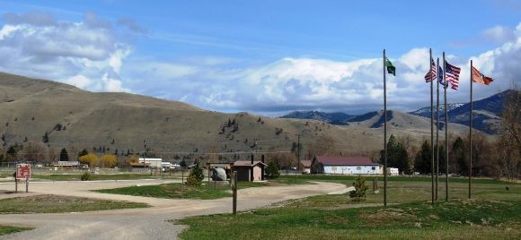
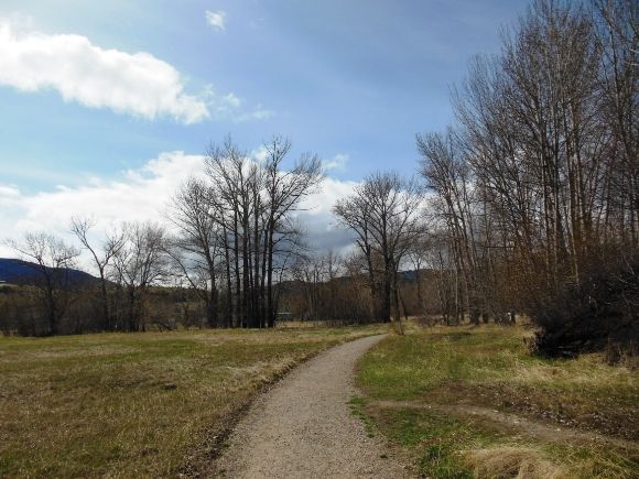
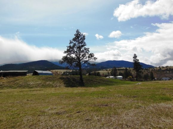
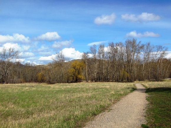
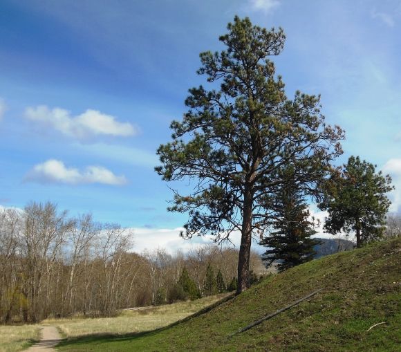
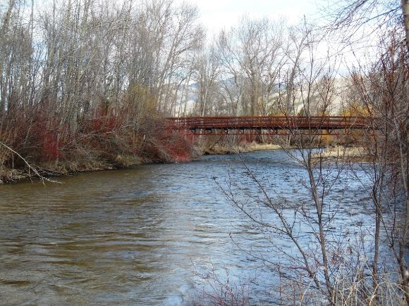
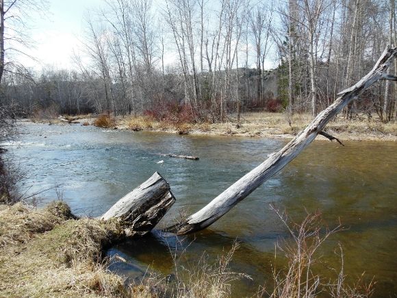
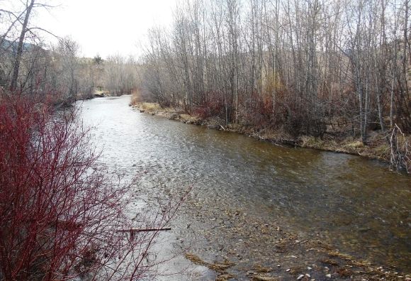
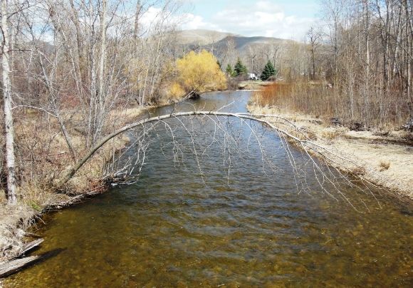
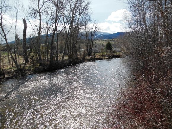
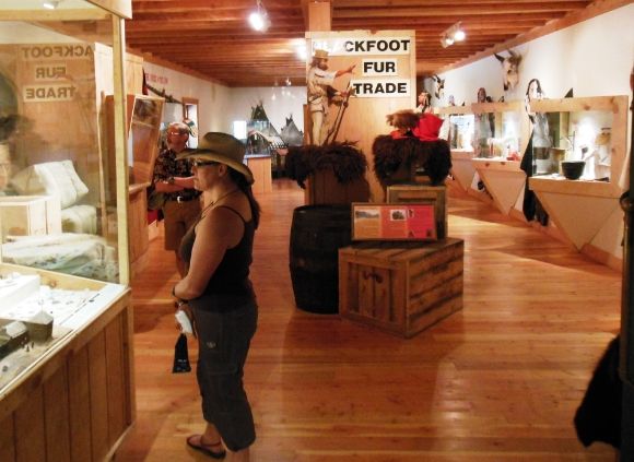
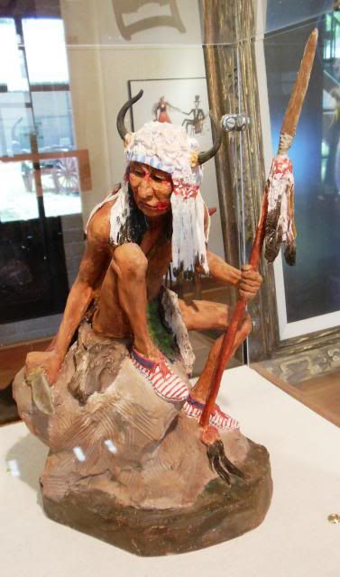
Loop Trail:
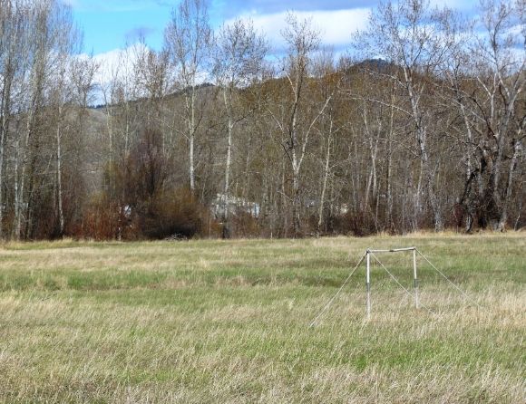
Shown below are some photographs taken from the loop trail through the park.
Leave a Reply