At the time when the first Europeans began to enter into the Central Oregon Coast area, the American Indians in the area—Tillamook, Alsea, Yacona, and Siuslaw—were living in large, permanent villages clustered along the coastal rivers. In 1855, the Coast Reservation (also known as the Siletz Reservation) was established by executive order of President Franklin Pierce. The new reservation ran approximately 102 miles north and south along the Central Oregon coast. The establishment of this reservation set in motion the relocation of several different American Indian groups in Southern Oregon and Northern California. The new reservation was established as a part of a new Indian policy put into practice by Commissioner of Indian Affairs George Manypenny which envisioned Indians being “saved” from the bad effects of American expansion by concentrating them in isolated places. On the reservation, the Indians would have limited contact with non-Indians and could be trained to become self-supporting farmers.
The Burrows House Museum in Newport, Oregon has a small display of photographs of the Siletz Indians.
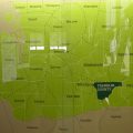
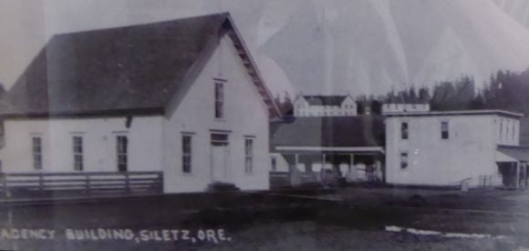 Shown above are the agency buildings at the Siletz or Coast Indian Reservation.
The headquarters compound for the new reservation was built on a hill overlooking a broad expanse of meadow on the Siletz River. Three forts were built on the borders of the reservation: Fort Yamhill, Fort Hoskins, and Fort Umpqua.
The Reservation, known as the Coast Reservation or the Siletz Reservation, was established for 27 Indian tribes whose original territories ranged from southern Washington to northern California. These tribes spoke at least ten different languages. Sandy Nestor, in Our Native American Legacy: Northwest Towns With Indian Names, reports:
“The Indians were told they would be provided for, and had to leave all their belongings behind. When they arrived at the Siletz Reservation, all they found were empty promises, because nothing was there for them.”
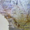
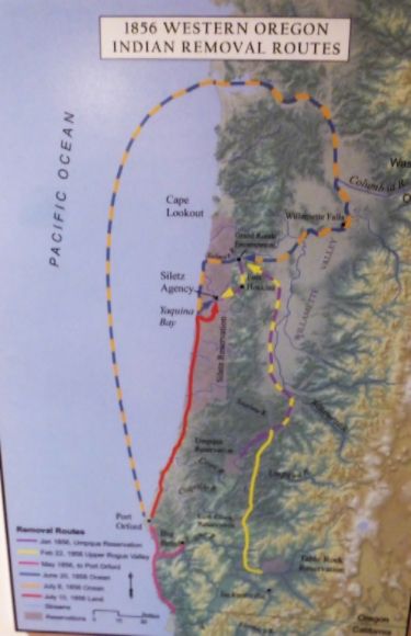 The map shown above shows the routes used in removing Indians from Western Oregon and placing them in the Siletz Reservation.
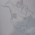
 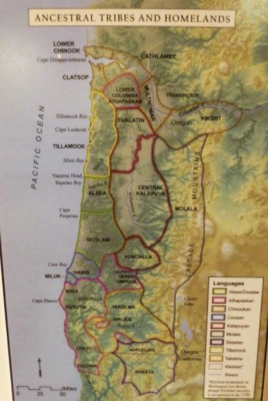 Shown above are the ancestral homelands of the tribes of Western Oregon.
 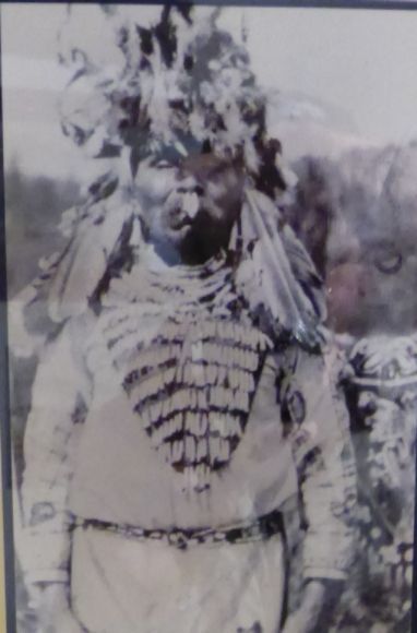 Shown above is Depot Charlie, also known as Charlie DePoe.
  Shown above is an unidentified group of Indian women.
 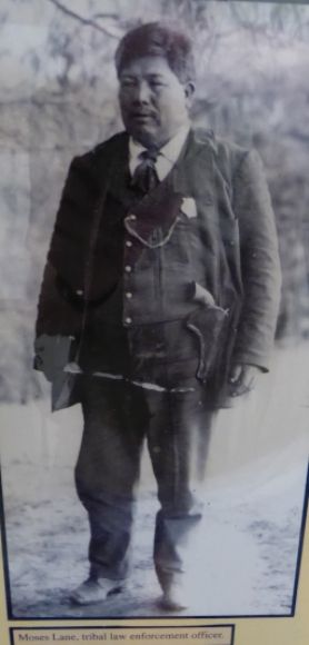 Shown above is Moses Lane, a tribal law enforcement officer.
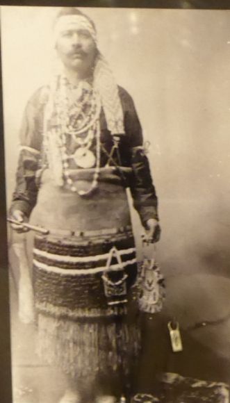
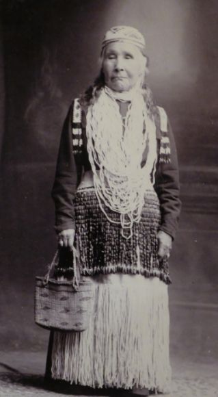 Shown above is Siletz tribal member Julia Megginson (1838-1930). She spoke Chinook and may have been from the Sixes Tribe.
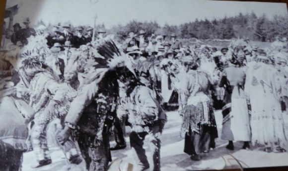

Leave a Reply